
Today I want to introduce you to a truly unique place near Inverness, just a few minutes from the Culloden battlefield. The very road that leads to the site seems to set you off on an enchanted journey through grassy meadows, drystone walls, lush trees and shady spots that invite you to pause and contemplate. Clava Cairns is a whole prehistoric complex so remarkably well preserved that it feels almost like a portal to a past 4,000 years away.
It is currently classified as a ‘monumental funerary complex’, but there is much more to it than what are considered simple megalithic tombs. Clava Cairns lies near the River Nairn and includes five areas:
- Balnuaran of Clava. Two passage graves (chambered cairns), a ring cairn and a kerb cairn.
- Milton of Clava. A possible cairn and a standing stone.
- Mains of Clava (north-west). A standing stone.
- Mains of Clava (south-east). Remains of a ring cairn.
- Remains of a chapel, presumably medieval.
BALNUARAN OF CLAVA
Balnuaran attracted great interest in the past; however, it is only thanks to Professor Richard Bradley, a British archaeologist and academic, that we began to have reliable information. Based on his 1994 studies and radiocarbon dating, it was established that the site was built around 2000 BC, in the Early Bronze Age, and that about 1,000 years later, in the Late Bronze Age, it was extensively reused.
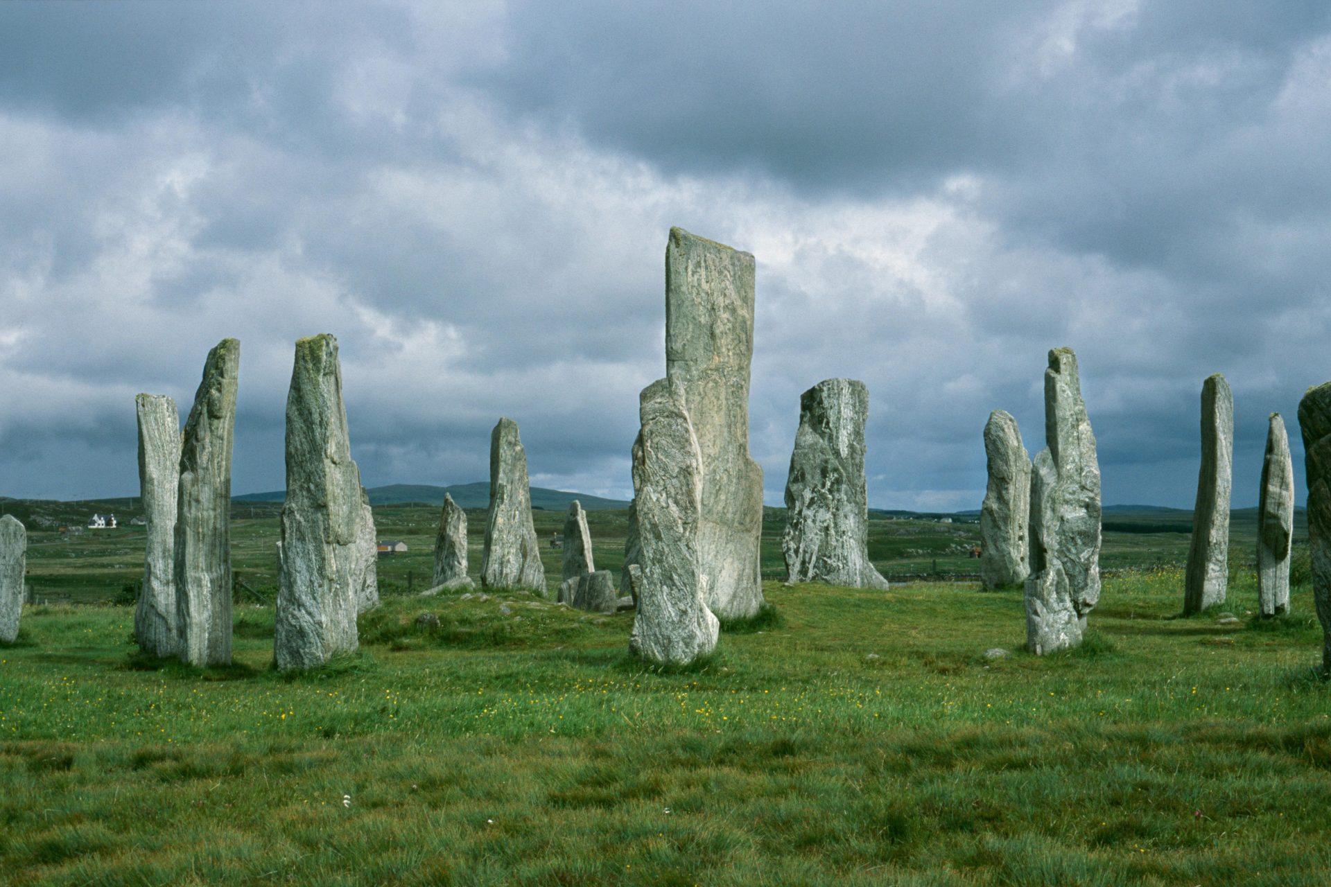
Walking through Balnuaran, you immediately notice three circular structures, each set inside a ring of widely spaced stones: the tallest stand by the entrance, the smallest at the opposite side.
The two structures to the north-east and south-west belong to a category called ‘passage graves’, because a narrow passage, covered by a cairn of stones, leads into an inner chamber. The entrances face south-west, towards the midwinter sunset. Although still imposing, they now stand about a metre high, whereas originally they seem to have reached as much as three metres and to have had a remarkable vaulted roof. Standing beside these structures, you immediately grasp how grand they once were, even though the upper part has now collapsed. The other structure at Balnuaran, typical of the area, is a ‘ring cairn’, with a circular cairn surrounding an area that is now open and has no link to the outside.
CHAMBERED CAIRN (north-east)
So let’s approach the north-eastern structure. Entering the passage, we see that the walls are made of two rows of large upright boulders of fairly similar size, and that the inner chamber is about 4 metres across. Let’s imagine walking down this passage as it was originally: most likely there would have been a roof of flat slabs above our heads, leading us to the central chamber, topped by a great vaulted keystone.
Heading back outside, we notice that the circle around the cairn is made up of 11 stones. We know that Professor Bradley’s excavations showed that the structure of the so-called tomb consisted of a core of massive blocks mixed with turf and earth. Up against the monument there was a kind of platform on which fragments of bone were found, which may suggest the remains of cremations. Near the site, archaeologists recovered around a hundred stone objects, which allowed researchers to dig deeper, also through pollen analysis and radiocarbon dating.
RING CAIRN (central)
Now let’s move to the central cairn, the ring cairn: we immediately realise it is different from the previous one, because it has no entrance passage but has three ‘rays’ made of small stones packed together to form a slightly convex, raised strip. These rays link up with 3 of the 9 standing stones in the circle around it.
CHAMBERED CAIRN (south-west)
Now we reach the last structure, which is very similar to the north-eastern one. In 1870 the landowner diverted a road that crossed the site to protect the monuments inside a new enclosure. Unfortunately, the new road, built right up against this last chambered cairn, altered both the stone circle and the platform, distorting the original design. In fact, one standing stone was incorporated into the fence and another is on the far side of the road! We know that, around the same time, some fallen stones were re-erected, overgrown vegetation was cleared and, sadly, some cairns were plundered for wall-building.
Standing some distance away, with our backs to the fence, we can see quite easily from this angle that the two cairns and the standing stones are laid out along two axes that seem to converge on this last passage grave. It is natural, then, to wonder whether it had some special importance.
KERB CAIRN
At the edge of the enclosure is a badly damaged site with a ring of 15 kerbstones. It is thought that there may once have been a structure in the hollow at its centre.
Across the whole site, several standing stones, especially those of the north-eastern cairn, still bear many cup marks (cup-shaped carvings) or ring marks. These decorations seem to have been made before the stones were set in place. According to scholars, Balnuaran was not a cemetery for the whole community but a burial place reserved for a few high-ranking individuals.
The megalithic complex was built close to places suited to human settlement: nearby there were a watercourse (the River Nairn) and fertile, easily farmed land. So there may well be other important archaeological remains in the unexplored areas around the site, for example around the chapel, which I will tell you about in another article.
Balnuaran was built after careful study and planning that left nothing to chance. We know that prehistoric peoples believed such monuments were closely tied to the surrounding landscape and to the movements of the main celestial bodies, and that the layout of the monument itself expressed a particular astronomical orientation. Then again, as I said, over its long history Balnuaran was not only a cemetery but most likely also an astronomical observatory of incredible precision. That, however, is a chapter that deserves a story of its own!
Silvia Miraglia